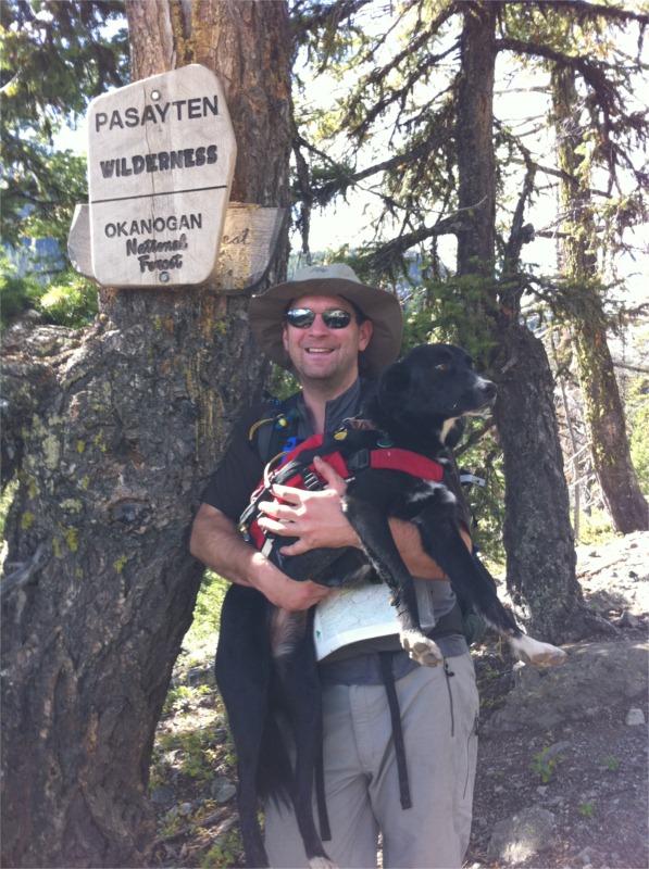
Eastern Pasayten Loop
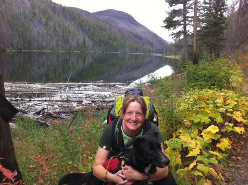
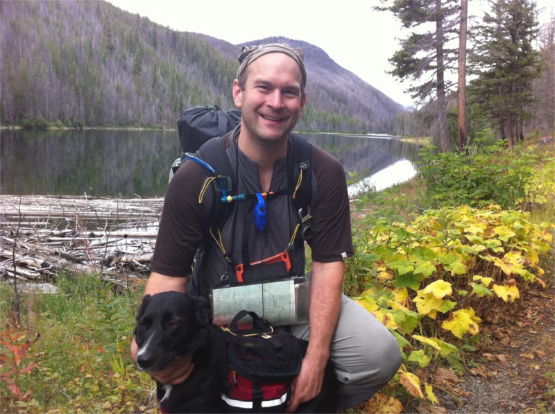
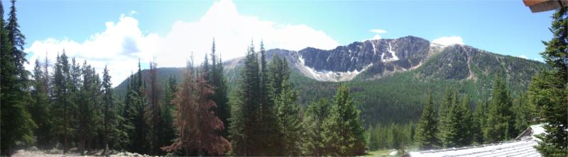
 This past past week, I returned to the Pasayten Wilderness with Lynn and our two dogs Boomer (1) and Jilly (3). We intended to walk the loop of ~60 miles over 4 – 5 days but had to cut our trip a little short due to high temps affecting the dogs. The hike is described in Backpacking Washington and you’ll need Green Trails maps Coleman Peak #20 and Horseshoe Basin #21. As with our 2008 hike, I elected to loop counter clockwise (effectively following the trail in reverse). This gives epic views across to Cathedral Peak that build from day 2. Makes getting there that much nicer.
Sunday
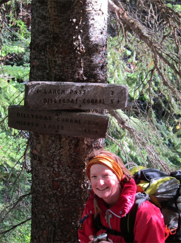
We left Redmond at 6AM for the four hour drive into Winthrop. The sun was out and it was lovely run up I-5 then over the North Cascades Highway (SR-20) and down into the Methow Valley. After a quick stop in Winthrop for a cinnamon roll we drove out to the 30 mile trailhead. It’s aptly named as it’s a good 30 miles north out of Winthrop. This region is also the location of the Thirty Mile fire where four people died. There is a memorial to the fallen alongside the road as you head up to the trail. We didn’t stop this time but I’d been there in 2008 when I last walked the loop – well worth a visit if you head out this way.
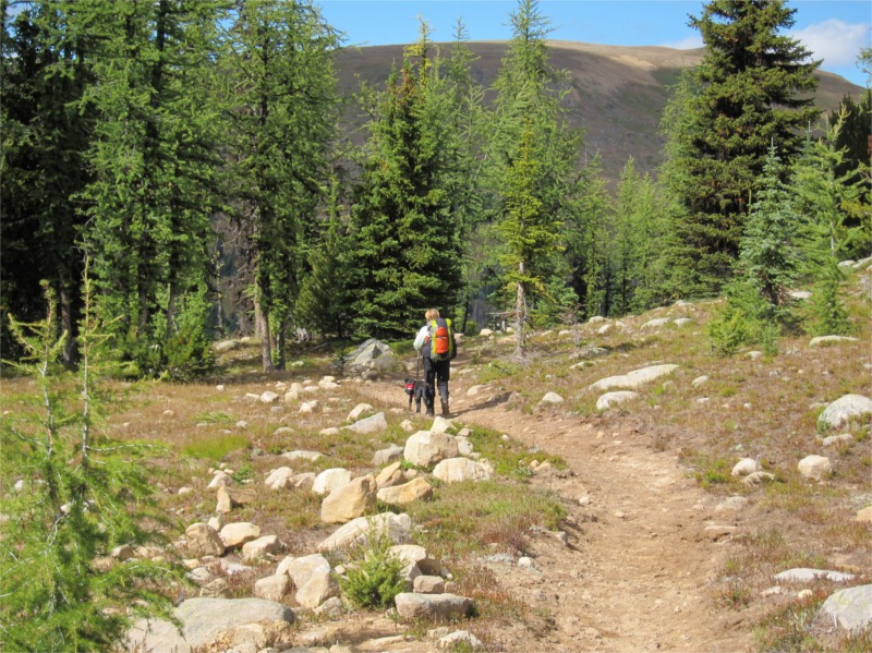
 We arrived at the trailhead at 12:30pm and by this point it was already up to 90F. Lynn was concerned about the heat with our two dogs – Boomer (1yr) and Jilly (3yrs). Jilly had hiked with us last year when we did the Western Pasayten loop but for Boomer this would be her first true trip out into the Wilderness area. The trailhead was deserted when we left so after swimming the dogs in the Chewuck River (this would become a theme for out trip) we set off through the dusty trail which runs alongside the river as it snakes it’s way up into the high hills.
Within about 30 minutes the heat really hit us and we were worried how the dogs would cope. Luckily Lynn had packed a large pack-towel and we were able to cut this in half making a nice (wet) insulation blanket for Boomer and Jilly. We would wet the blanket in the cold running streams and this would help keep them cool through the high heat.
The first section of trail took us along the river and up through the old burn area. It’s very dusty but remarkably full of plant life. In the three years since I was last there, it felt like a different trail. The colors of fireweed brought a sense of cheer to what was otherwise a hot and dusty trail.
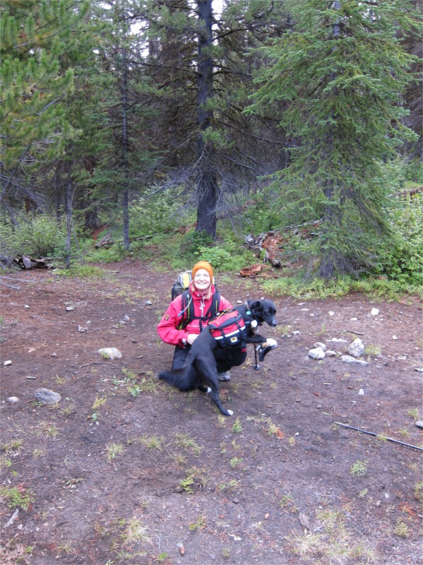
 After walking about three miles we made it to Chewuck Falls – by this time the dogs were quite hot and panting a little so we headed down to the river and took a nice 30 minute break allowing them time to swim and cool off. As you can see from the picture here, Boomer was very enthusiastic despite the frigid temperatures of the water!
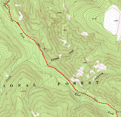
From the falls we continued walking until we reached the start of the Basin Creek trail (342) some 6.1 miles from the trailhead. We arrived there around 4pm – our goal was to head up about 1.7 miles to a great camp spot by the side of Basin Creek. This would enable us to get an early start for the tough day of exposed climbing ahead.
The Basin Creek trail started climbing steeply across switchbacks. The sun was very hot (my chest thermometer was reading 95F) – I was really starting to suffer from the heat and we had to take a break behind a large rock for me to cool off. Fortunately I’d just filled by water carrier with cool water from the creek below and this served as a fantastic head cooler!
 After cooling off we continued on for what turned into a tough slog up the hill before reaching our planned camping spot by the side of Basin Creek. I was amazed how much the landscape had recovered in three years – when I was here last the whole landscape was barren with charcoal. There were now lush grasses and small bushes in abundance!
We were all exhausted but it felt great to have made it to our nice little campsite. The dogs looked tired but had done well. After eating our fresh dinner we settled in for our first night.
Total distance ~7.8 miles
Monday
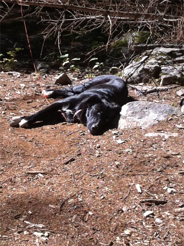
 We woke up around 6am and were moving on the trail by 7am – the sun was already up and we wanted to get up and over Windy Peak before we hit the full on sunshine of yesterday. Temps in camp were a nice 55F making it perfect walking weather as we climbed up to Windy Peak (trail 360) and then traversed across Topaz Mountain to Sunny Pass (trail 342). It was warm again in the high 80Fs but we were all faring much better with the landscape being a good combination of flat sections then short climbs. The climb to Windy Peak was nice in the early morning sun. As we headed up and over to Sunny Pass the full on sun returned just in time for us to find a lovely creek to cool off our heads and let the dogs swim. By this point we’d started to get more concerned about Boomer who was looking somewhat dehydrated and not eating as much as Jilly (the vacuum!). Another good stop gave us a chance to get more water into her and ensure she was fueled with some good calories for the longer climb ahead.
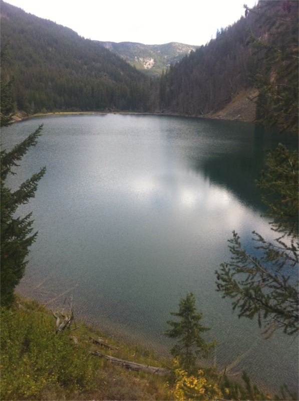
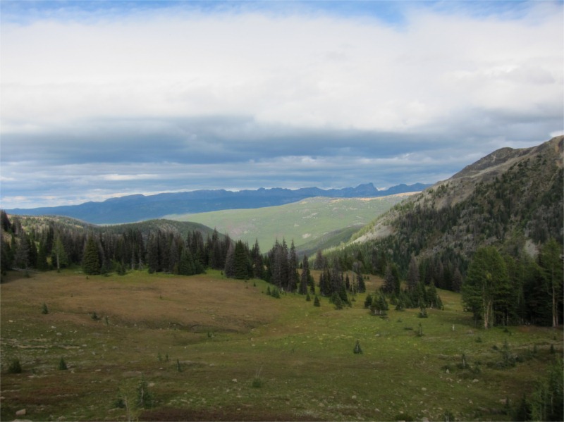
 We stopped at Sunny Pass under the shade of a large tree for lunch. It was lovely in the upper meadows with no other people in sight. It would have made a great camping spot with epic views across the valleys. After lunch we continued walking through Horseshoe Pass on to our next stop at Louden Lake. This was our planned water stop and also an option for overnight camping if we felt the dogs were too hot to continue on. The lake was very low and quite muddy though Boomer insisted on checking the whole area out. It was quick comical to see her barking at a large rock for a few minutes. The high valleys were lush with grass and very few bugs with critters such as marmots and chipmonks in abundance so had to have the dogs on leash for the first time in two days.
 Temps in the high valleys were better so we pushed on past the lake towards Haig Mountain for our planned overnight stop. This was a return to a campsite I’d stayed at with Brett, Tim and Bill on our 2008 trip. Getting to the camp was tiring but worth it with the nice logs and campfire. Unfortunately there was a complete burn ban in the Wilderness so our lovely campfire pit had to make do with a camp stove.
Total distance ~11.4 miles (total of 19.2 miles)
Tuesday
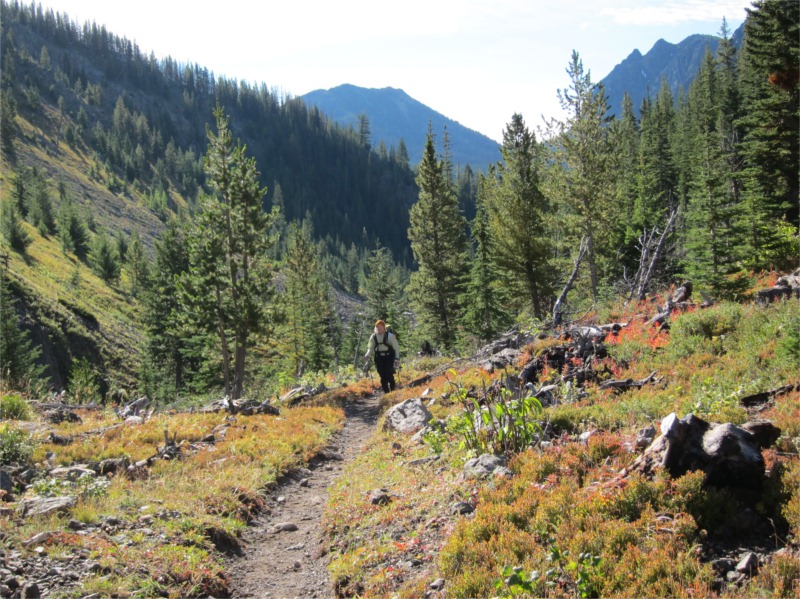
Overnight we’d re-evaluated our plan of looping on to Cathedral Pass. The heat had been causing us lots of problems with the dogs and was also making it harder going for both of us. In addition the “high hunt” was scheduled to start on Thursday so we wanted to ensure we were well out of the high mountains by the end of Wednesday before the shooting started on Thursday morning. Fortunately planning ahead always pays off and we had an alternate option to loop back to the car. We opted to continued on the Boundary Trail (533) until we reached the old Tungsten Mine and would then head down the valley on the Tungsten Creek Trail (534). This option would cut off a solid 12 miles saving us an additional day. We also felt the trail would be more sheltered from the sun as it meandered through thick forest.
 We hit the trial by 8am – overnight had been much warmer than we’d anticipated and it was already in the mid-60’s despite being in the shade. The trial from Haig Mountain was a joy to walk as it hugged the mountain side passing Teapot Dome before heading up to the flats at Scheelite Pass. Despite the initial reading of the map which looked like things headed downhill the trail still had a fair bit of climbing to reach our destination at Tungsten Mine. We stopped for lunch beside a small stream and then headed out looking for the intersection of Tungsten Creek trail (534). We’d initially headed across from the mine along the trail to find a trail side marked “not maintained, unsuitable for horses”. This didn’t look like our trail and given our last experience going down an unmaintained trail was looped back to the mine and examined the map more carefully. This time we found the trailhead (hard to miss honestly) directly below the old cabins. If you’d like to know more about the old Tungsten Mine, I researched it back in 2008. The full report is here.

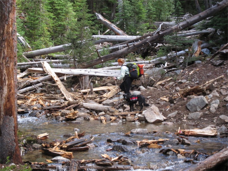
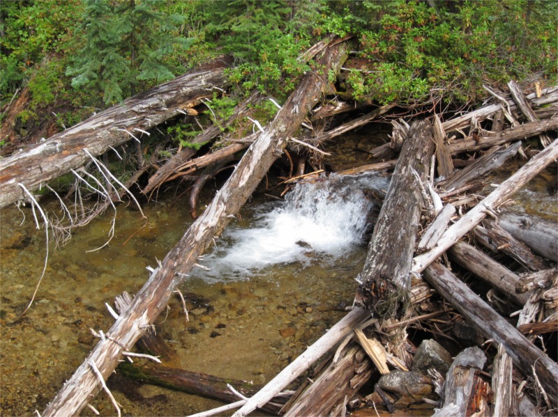
The Tungsten Creek trail headed sharply downhill beneath the old spoil heap and then started to turn taking a nice shallow descent out along the valley floor. It was cooler here with nice shade from the trees and lots of water as we looped back across the many streams we’d crossed on the Boundary Trail. The walk down the trail was nice – although it missed the epic views of the Boundary Trail there was lots of wildlife to see and lovely views through the trees into small mountain meadows. After descending to reach Cinch Creek (about 4 miles in) we stopped for a good rest. Boomer was literally pooped and needed to rehydrate, eat and get a good long rest. We found a lovely camping spot between the forks of Cinch Creek and decided to stop here overnight.
After feeding Boomer and letting her sleep for a while she seemed much better so we changed plans again and headed down to the base of the trail to meet the Remmel Creek Trial (510). After crossing the Chewuch River we found a huge camping area that looked to be very popular with horses (judging by the amount of horse poop!). We stopped here for the night and setup camp in a lovely little site just by the side of the river.
Total distance ~15.9 miles (total 35.1 miles)
Wednesday
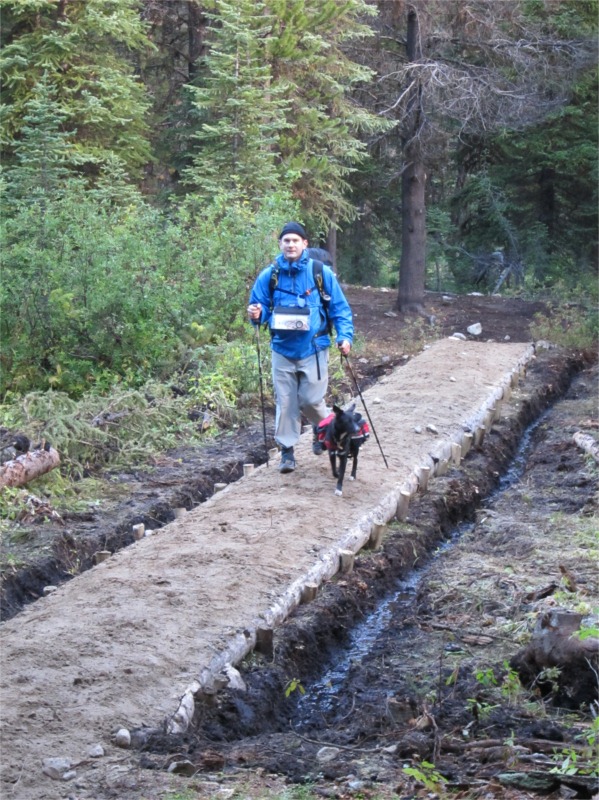
 We woke around 5:30am after a nice restful night beside the river. The sounds of running water made for a lovely backdrop to our early morning tasks of cleaning camp and feeding the woofers. The dogs looked well recovered from their long day yesterday and were bouncing around the camp chasing each other with lots of energy. We broke camp and then headed out for the short (8 mile) hike back to thirty mile trailhead. The walking today was the easiest of all the days with a nice long walk down the mountain back 8.1 miles to the car. The walk back was uneventful and a little cooler than other days. We ran into our first people on the trail just 2 miles from the car; it was a pack train of hunters heading into the high hills for the high hunt which starts on Thursday. We made it back to the car by noon and then bathed and swam to dogs in the Chewuch River before heading into Winthrop for a well earned pint of ale in the Old Schoolhouse Brewery.
Total distance ~8.1 miles (total 43.2 miles)

Summary
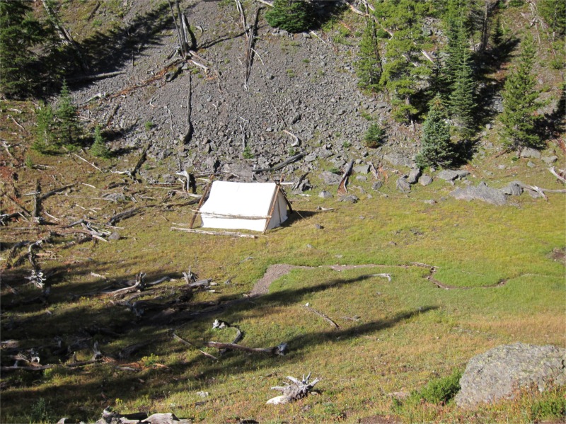
Overall this was a very hot and dusty trip. It was fortunate that Lynn had a large pack towel that we could use to cool the dogs. Other than the heat the trip was good – the wilderness has really started to recover from the thirty mile fire and it’s far prettier in the lower valleys than my last visit. Both dogs did well camping in the Lunar Duo – there was lots of space for the four of us including our packs and gear.
It was a little disappointing not being able to loop through Cathedral Lake but we’ll just have to save that for another trip ![]()
Full pictures are available here.
For more details on the hike look it up in Backpacking Washington.


Recent Comments