Larch Pass Loop: Day 3: Peeve Pass to East Fork Pasayten
The predicted weather came through with continuous showers falling all night. By the time time we hit the trail at 8:45am, the rain was still falling but had receded to constant drizzle. Full rain gear came out with leggings, and our favored Paramor jackets.
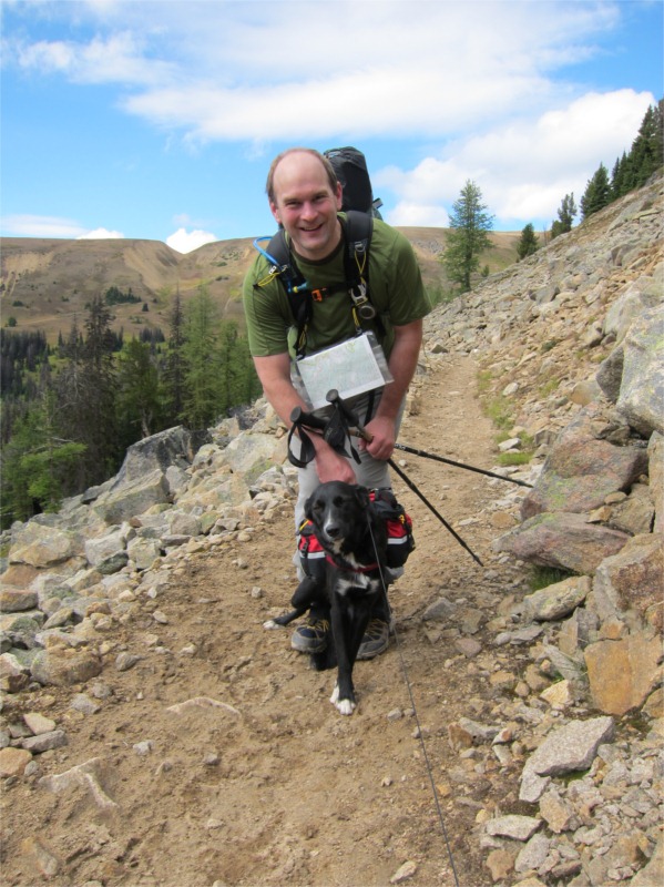
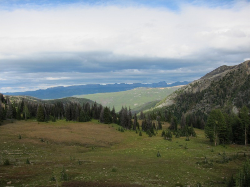
From our camp at Peeve Pass was continued on climbing 1400’ up to Bunker Hill (7100’). The weather today was really unfortunate as the views along Quartz Mountain would have been great. After descending the mountain we bumped into our first hikers of the day, a young man and his dog all kitted out. They were moving along at a fairly fast clip and soon passed us. I found the hiking up Bunker Hill to be hard going – it was super steep with little switchbacks. It was also very hot and humid. On reaching the glorious summit, the views would have been amazing(!) if not for the torrid weather :-(.
We crested the summit and continued down following a well worn stock trail. The trail soon started descending down switchbacks through an old burn area which lots of blow down. I became worried we’d missed the trail and was getting concerned we would become lost. We backtracked up the hill to try and get a signal on my GPS (iPhone with Memory Map). After fudging around with the settings (Note: flight mode needed to be off!) we got a signal and found that we’d taken a wrong turn and were following the old trail #456 which we’d been warned against. This takes you off Bunker Hill in a SSE direction and we needed to follow the trail in a NNW direction (genius Ellis was off by 180°).
We soon backtracked and, after double and triple checking compass, GPS, map and trail guide, we found the missing trail about a mile back up the hill. The trail was actually marked via. a series of cairns (rock piles) and had a signpost obscured in the trees. I’ve marked our lost route in blue in the map fragment below. This last bit really bothered me and we ended up being super careful and even second guessing our route and we descended down the correct trail. The trail dropped into a small lush valley before once again descending into an old burn area. I was following the GPS route pretty carefully as the trail was again hard to follow. It veered way off at one point so much so that I decided it must be wrong (I’m sure you’re getting the picture now). After yomping around again lost for about an hour we finally found the trail again and then picked up speed.
At this this point we’d lost a good three hours and I was very worried we would be stuck on the high hillside with no flat camping spots for the night. Luckily we were able move fast with most of the trail being down hill. We soon left the switchbacks and sighted the Pasayten River. Our target camp at the East Fork was now only 1.5 miles away.
We rolled into camp at 7:15pm with only 30 minutes of daylight left to setup and cook. Little Jilly was dog tired and soon curled up into a little ball by the side of the river. We followed along and were all soon out in a deep sleep hoping for a better trails the following day.


Recent Comments